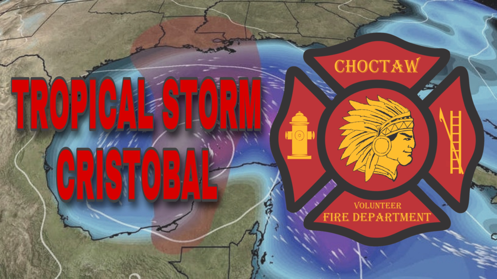
 Cristobal will linger inland or near the Bay of Campeche coast of eastern Mexico through Friday, lacking any significant steering winds aloft.
It may weaken to a tropical depression before it emerges back into the Bay of Campeche or Gulf of Mexico later Friday. This weekend, however, it's expected to be drawn northward into the Gulf of Mexico through a break in subtropical high pressure. That could bring Cristobal near the northern U.S. Gulf Coast by later Sunday anywhere from the upper Texas coast to the Alabama Gulf Coast. It remains too soon to determine exactly where this system would come ashore. Early-June storms like Cristobal tend to be lopsided, with significant impacts far from the track of the center. In this case, with a northward-moving Cristobal in the Gulf of Mexico, we expect a plume of deep, tropical moisture to wring out heavy rain well east of the center, as far east as the Florida Peninsula. Also, increasing winds over the Gulf of Mexico will drive high surf to the beaches of the Gulf Coast, particularly to the east of the track from Louisiana to southwest Florida, generating dangerous rip currents and coastal flooding. These far-reaching impacts are expected to increase beginning Saturday, and may persist into early Monday.
The National Weather Service has issued a FLOOD WATCH for upper and lower Lafourche Parish, including the Choctaw, Chackbay and Bayou Boeuf areas, until Tuesday, June 9, 2020.
Tropical moisture streaming over the central Gulf Coast region partly from the circulation of Tropical Storm Cristobal will be capable of producing extensive rainfall each day through the weekend into early next week. General and widespread flooding will become increasingly likely as this wet pattern persists. Click HERE for more information. Current Local Radar |
Choctaw Volunteer Fire Department
2854 Choctaw Road
Thibodaux, Louisiana 70301
Phone: (985) 633-2888
2854 Choctaw Road
Thibodaux, Louisiana 70301
Phone: (985) 633-2888
Copyright 2024
Emergency Alerts Provided By WillyWeather
Payments Processed By Square
Privacy Policy | Terms Of Use | Area Amenities
HIPAA BAA | System Status
ARMS
Emergency Alerts Provided By WillyWeather
Payments Processed By Square
Privacy Policy | Terms Of Use | Area Amenities
HIPAA BAA | System Status
ARMS