|
A HURRICANE WARNING is in effect for Southeast Louisiana — including Choctaw, Chackbay, and Bayou Boeuf — for dangerous and damaging winds.
This warning is issued up to thirty-six (36) hours before hazardous conditions begin. Urgently complete efforts to protect life and property. Have enough food, water, cash, fuel and medications for at least three (3) days. Follow instructions from local officials as they are given. Click HERE to view the official alert from the National Weather Service. The National Weather Service in New Orleans has issued a Flash Flood Watch for portions of southeast Louisiana and Mississippi, including Upper Lafourche Parish and the Ward 6 area, from Sunday evening through late Wednesday night.
Tropical Storm Sally is expected to make landfall along the southeast Louisiana and Mississippi coasts. Periods of heavy rainfall are expected to begin as outer bands move in and then more steady heavy rainfall will follow as it makes landfall. Heavy rains associated with Tropical Storm Sally are expected to spread into the area beginning early Sunday night and will continue over the watch area through at least Wednesday evening. Total rainfall amounts in the watch area will be 6 to 12 inches with locally higher amounts near 18 inches. Depending on how much rain actually falls and what river basins see those higher rainfall amounts, river flooding will be possible. PRECAUTIONARY ACTIONS A Flash Flood Watch means that conditions may develop that lead to flash flooding. Flash flooding is a very dangerous situation. You should monitor later forecasts and be prepared to take action should Flash Flood Warnings be issued. Click HERE to view the official alert from the National Weather Service. At 12:15 PM, radar indicated strong thunderstorms were located along a line extending from 6 miles northeast of Shell Beach to Belle Chasse.
Movement was northwest at 25 mph. Winds in excess of thirty (30) mph are possible with these storms. Tropical funnel clouds may be possible with weak waterspouts near and within marine areas. Torrential rainfall is also occurring with these storms, and may cause localized flooding. Do not drive your vehicle through flooded roadways.  Entergy will be repairing several poles along Highway 20 between noon and four o'clock this afternoon, and many residents in our community will be without power.
We realize that many of our residents have home telephone service through a broadband provider like Spectrum or Vonage, and we want you to be aware that during a power outage, many of these services will not function. If you are affected by this power outage and you have home phone service through Spectrum or Vonage, please use a mobile phone to call 911 in the event you need any type of emergency assistance. Please be prepared to give the 911 operator detailed information about your location in order to assist emergency personnel with locating your residence. If you have any elderly neighbors that are affected by the power outage and you know that they have phone service through a broadband provider like Spectrum or Vonage, please be a kind neighbor and check on them from time to time. At 12:42 PM CDT, radar indicated showers were located along a line extending from near Patterson Memorial Airport to Stephensville to 6 miles southeast of Montegut.
Movement was northwest at 45 mph. Wind gusts up to 50 mph are possible with these showers. Locations impacted include: Houma, Thibodaux, Napoleonville, St. Gabriel, Lockport, White Castle, Mathews, Schriever, Gray, Paincourtville, Supreme, Raceland, Bayou Sorrel, Labadieville, Montegut, Bayou Cane, Belle Rose, Chauvin, Chackbay and Choctaw. To view the official alert, click HERE. A TROPICAL STORM WARNING HAS BEEN ISSUED FOR SOUTHEAST LOUISIANA.
A Tropical Storm Warning means tropical storm-force winds are expected somewhere within this area within the next 36 hours. 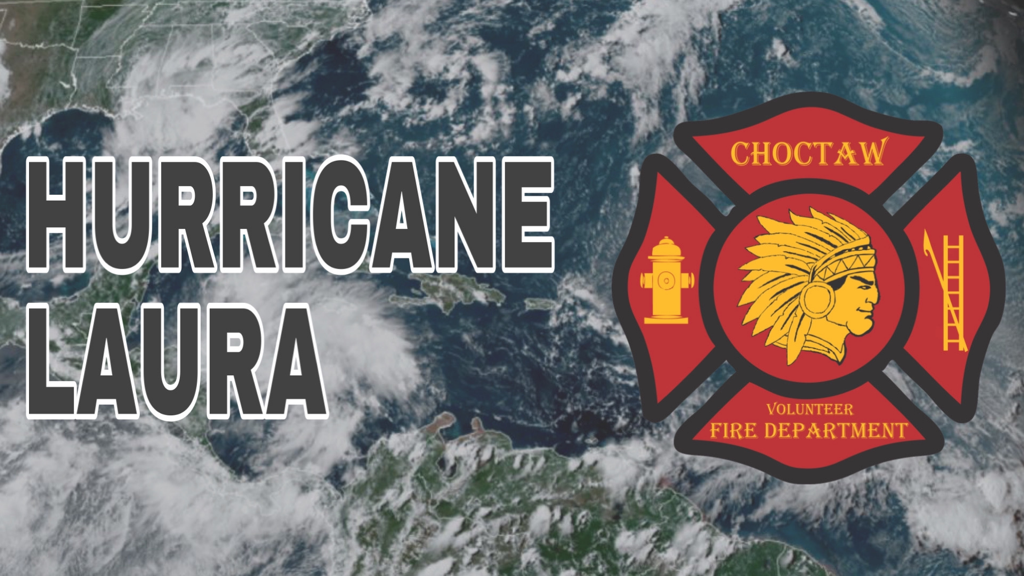 Laura has become a hurricane and is expected to make landfall as at least a Category 3.
Listen to local officials, get prepared, and go to getagameplan.org for more information. 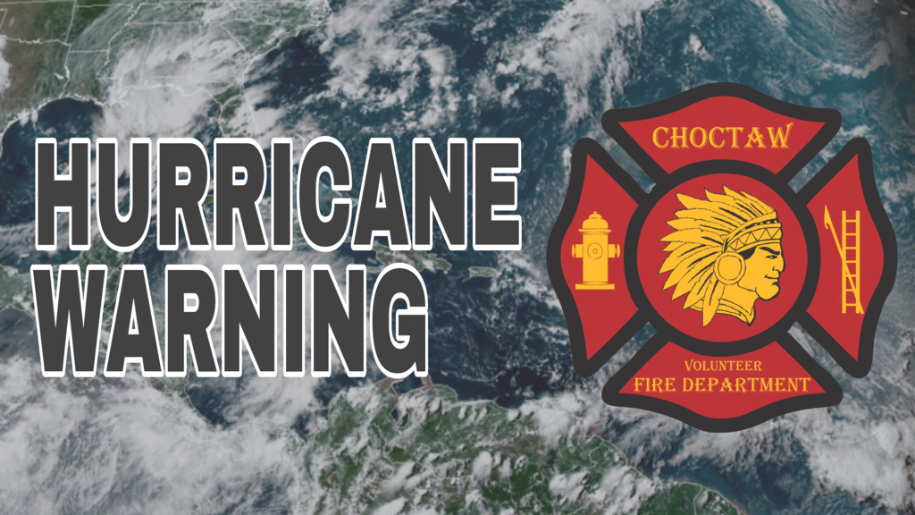 A Storm Surge Warning and Hurricane Warning are in effect for Lower Jefferson, Lower Lafourche, Lower Plaquemines, Lower Saint Bernard, and Lower Terrebonne parishes.
A Tropical Storm Warning and Hurricane Watch are in effect for Ascension and Saint James parishes. A Hurricane Warning is in effect for Assumption, Upper Lafourche, and Upper Terrebonne parishes. STORM INFORMATION: About 270 miles southeast of New Orleans, Louisiana, or about 260 miles south-southeast of Gulfport, Mississippi, or about 270 miles southeast of Houma, Louisiana. Storm Intensity: 70 mph Movement North-northwest or 345 degrees at 12 mph Tropical Storm Marco will continue to approach the coast of Southeast Louisiana tonight. Marco is expected to turn west and move parallel to the Louisiana coast tomorrow as a strong tropical storm and then gradually weaken tomorrow night as it moves toward Southwest Louisiana. PRECAUTIONARY/PREPAREDNESS ACTIONS EVACUATIONS: Listen to local official for recommended preparedness actions, including possible evacuation. If ordered to evacuate, do so immediately. If evacuating, leave with a destination in mind and allow extra time to get there. Take your emergency supplies kit. Gas up your vehicle ahead of time. Let others know where you are going prior to departure. Secure loose items and pets in the car, and avoid distracted driving. If evacuating, follow designated evacuation routes. Seek traffic information on roadway signs, the radio, and from official sources. OTHER PREPAREDNESS INFORMATION: If you are relocating to safe shelter, leave as early as possible. Allow extra time to reach your destination. Many roads and bridges will be closed once strong winds arrive. Check the latest weather forecast before departing and drive with caution. If heading to a community shelter, become familiar with the shelter rules before arrival, especially if you have special needs or have pets. Take essential items with you from your Emergency Supplies Kit. Failure to adequately shelter may result in serious injury or loss of life. Always heed the advice of local officials and comply with any orders that are issued. Remember, during the storm 9 1 1 Emergency Services may not be able to immediately respond if conditions are unsafe. This should be a big factor in your decision making. Keep cell phones well charged. Cell phone chargers for automobiles can be helpful, but be aware of your risk for deadly carbon monoxide poisoning if your car is left idling in a garage or other poorly ventilated area. Storm surge is the leading killer associated with tropical storms and hurricanes! Make sure you are in a safe area away from the surge zone. Even if you are not in a surge-prone area, you could find yourself cutoff by flood waters during and after the storm. Heed evacuation orders issued by the local authorities. Rapidly rising flood waters are deadly. If you are in a flood-prone area, consider moving to higher ground. Never drive through a flooded roadway. Remember, turn around don`t drown! If a Tornado Warning is issued for your area, be ready to shelter quickly, preferably away from windows and in an interior room not prone to flooding. If driving, scan the roadside for quick shelter options. If in a place that is vulnerable to high wind, such as near large trees, a manufactured home, upper floors of a high-rise building, or on a boat, consider moving to a safer shelter before the onset of strong winds or flooding. Closely monitor weather.gov, NOAA Weather radio or local news outlets for official storm information. Be ready to adapt to possible changes to the forecast. Ensure you have multiple ways to receive weather warnings. ADDITIONAL SOURCES OF INFORMATION For information on appropriate preparation, visit: ready.gov For information on creating an emergency plan, visit: getagameplan.org For additional disaster preparedness information, visit: redcross.org From the Office of Louisiana Governor John Bel Edwards:
You have until nightfall this evening to finish your preparations for Hurricane Marco and Tropical Storm Laura. Wherever you are when it gets dark tonight is where you should plan to ride out these storms for at least seventy-two hours. A HURRICANE WARNING is in effect for Southeast Louisiana for dangerous and damaging winds.
This warning is issued up to 36 hours before hazardous conditions are expected to begin. Please complete efforts to protect life and property. Have food, water, fuel, cash and medications for each person in your household for at least three days. Click HERE to view the official alert from the National Weather Service. |
Choctaw Volunteer Fire Department
2854 Choctaw Road
Thibodaux, Louisiana 70301
Phone: (985) 633-2888
2854 Choctaw Road
Thibodaux, Louisiana 70301
Phone: (985) 633-2888
Copyright 2024
Emergency Alerts Provided By WillyWeather
Payments Processed By Square
Privacy Policy | Terms Of Use | Area Amenities
HIPAA BAA | System Status
Emergency Alerts Provided By WillyWeather
Payments Processed By Square
Privacy Policy | Terms Of Use | Area Amenities
HIPAA BAA | System Status