|
At this time, everyone in Lafourche Parish should be SHELTERING IN PLACE. Lafourche Parish Sheriff’s Office deputies are reporting a large number of cars on the road.
Conditions are deteriorating RAPIDLY as this storm continues to strengthen (currently a strong Category 2). If you are not already, get to a safe place immediately and prepare to ride out the storm. #Zeta A TORNADO WATCH is in effect for North and Central Lafourche Parish -- which includes the Choctaw, Chackbay and Bayou Boeuf areas -- until 12:00 AM.
Click HERE to view the official alert. A HURRICANE WARNING is in effect for Upper Lafourche Parish, Louisiana, including the City of Thibodaux and the communities of Choctaw, Chackbay, and Bayou Boeuf; dangerous and damaging winds are likely to occur.
A HURRICANE WARNING is issued up to thirty-six (36) hours before hazardous conditions begin. Urgently complete efforts to protect life and property. Have enough food, water, cash, fuel and medications for at least three (3) days. Follow instructions from local officials. Click HERE to view the official alert from the National Weather Service. For a list of links to important contact information, please click HERE. A HURRICANE WATCH is in effect for Upper Lafourche Parish, Louisiana, including the City of Thibodaux and the communities of Choctaw, Chackbay, and Bayou Boeuf.
A HURRICANE WATCH means hurricane-force winds are possible somewhere within this area within the next forty-eight (48) hours. Click HERE to view the official alert from the National Weather Service. For a list of links to important contact information, please click HERE. The 2020 hurricane season continues to overachieve as Hurricane Zeta formed Monday as it heads toward Mexico's Yucatan Peninsula. The storm is taking a track similar to Hurricane Delta, striking near Cozumel and then heading towards the Northern Gulf Coast.
Zeta is located about 120 miles southeast of Cozumel, with maximum winds of 80 mph, the National Hurricane Center said Monday afternoon. It was moving northwest at 10 mph. Forecasters predict Zeta will be a low-end hurricane, but it is not expected to be nearly as strong as Hurricane Delta just weeks ago. The system will make landfall on the Yucatan Peninsula near Cancun and Cozumel on Monday night and Tuesday morning. Like Delta, it may weaken briefly over land. On Tuesday, as the system reemerges over the waters of the Gulf of Mexico, it is forecast to gain a little of its strength back, likely regaining hurricane intensity and staying that way until Wednesday afternoon as it moves north. But on Wednesday, it should run into strong upper-level winds as it nears the Gulf Coast, where the official forecast calls for slight weakening at landfall Wednesday evening. The hurricane center's forecast cone shows landfall anywhere between southeast Louisiana and the Alabama Coast. This would be the eighth storm to make landfall along the Gulf Coast this season, with the highest concentration in Louisiana. Computer models call for continued intensification before the system makes landfall on the Yucatan Peninsula because the system is located over the warmest pool of water in the hemisphere and upper-level winds are becoming more favorable for development. Zeta is the 27th named system of the 2020 season, which is running over a month ahead of the record pace set back in 2005. That year featured 28 tropical storms, and the last did not form until the end of December. That puts 2020 well on track to either tie or break the all-time record for the number of named storms in the Atlantic in one season. 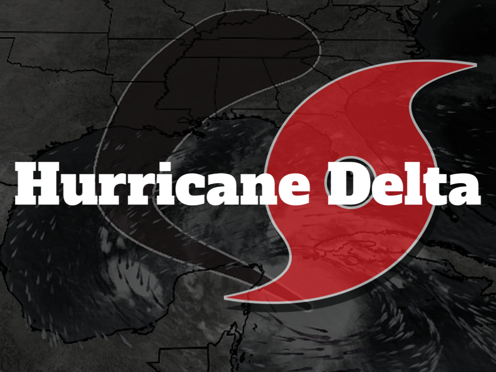 UPDATED AT 9:00AM
EVACUATIONS: All evacuations orders in Lafourche Parish have been LIFTED. ROAD CLOSURES: Louisiana Highway One is now OPEN south of the Leon Theriot Lock in Golden Meadow. All bridges in Lafourche Parish have resumed normal operations. Go to 511la.org for all state road closures. UPDATED AT 3:25PM FROM THE GOVERNOR'S OFFICE: Hurricane Delta is closing in on the southwestern Louisiana coast and is expected to make landfall this evening. Louisiana is already feeling its effects. Whether you evacuated or stayed at home, stay off the roads and listen to the advice of local officials. Be smart and be safe today. Prepare to shelter in place and plan to be on your own for at least seventy-two hours. Avoid downed power lines. Do not go sightseeing. LATEST INFORMATION: **A Tropical Storm Warning and Storm Surge Warning are in effect** For more information, click HERE. EVACUATIONS: A MANDATORY EVACUATION is in effect for all areas south of the Leon Theriot Lock in Golden Meadow and low-lying areas of Lafourche Parish, including Port Fourchon. A MANDATORY EVACUATION is in effect for the Town of Grand Isle (Jefferson Parish). SCHOOLS: Lafourche Parish Public Schools will be CLOSED on Friday. Catholic schools are CLOSED on Friday. Check with school’s communication system for virtual learning assignments. Nicholls State University will have classes ONLINE on Thursday and Friday. Click HERE for more information. MAX Charter School will be CLOSED on Friday. Click HERE for more information. OFFICE CLOSURES: The 17th Judicial District Court, Drug Treatment Center, and FINS office will be CLOSED on Friday, October 9th. If you were scheduled to appear for court on Friday, you will no longer be required to appear. A new court date will be issued once the storm has passed. The Lafourche District Attorney’s Office will be CLOSED on Friday. The Lafourche Parish Assessor’s Office will be CLOSED on Friday. Lafourche Parish Visitor Center in Raceland will be closed on Friday and Saturday. All State of Louisiana offices will be CLOSED statewide on Friday. ROAD CLOSURES: Lafourche Parish pontoon bridges are CLOSED to vehicular traffic but open to marine vessels. Lafourche Parish lift bridges remain OPEN to vehicular traffic, but closed to marine vessels. Go to 511la.org for all state road closures. NOTE: Louisiana DOTD has temporarily suspended the collection of tolls on the Louisiana Highway One Expressway in Leeville. SANDBAG LOCATIONS: Locations are now open throughout the parish with self-fill sandbags only until further notice (bring your own shovel). Click HERE to view a list of those locations. Louisiana GOHSEP (225) 925-7500  As of today, nine of the confirmed deaths from Hurricane Laura were caused by carbon monoxide poisoning from the improper use of portable generators. These types of deaths are preventable if you follow some basic safety tips when using portable generators.
OPERATE GENERATORS OUTDOORS in an area with plenty of ventilation. Never run a generator in a home or garage. Generators give off deadly carbon monoxide gas that is odorless. DO NOT PLUG GENERATOR INTO THE WALL to avoid back feed. Use heavy-duty extension cords to connect appliances to the outlets on the generator. TURN THE GENERATOR ON BEFORE PLUGGING APPLIANCES TO IT. Once the generator is running, turn your appliances on one at a time to avoid overloading the unit. Remember, generators are for temporary usage; prioritize your needs. Be sure the GENERATOR IS TURNED OFF AND ALLOWED TO COOL BEFORE REFUELING IT. KEEP CHILDREN AND PETS AWAY FROM THE GENERATOR. Many components are hot enough to burn you during operation. Have a WORKING CARBON MONOXIDE ALARM on each level of your home. A HURRICANE WATCH has been issued for Upper Lafourche Parish. A HURRICANE WATCH means hurricane-force winds are possible somewhere within this area within the next 48 hours A Storm Surge Watch means life-threatening inundation, from rising water moving inland from the coastline, is possible somewhere within this area within the next 48 hours.
Click HERE to see the official alert from the National Weather Service. |
Choctaw Volunteer Fire Department
2854 Choctaw Road
Thibodaux, Louisiana 70301
Phone: (985) 633-2888
2854 Choctaw Road
Thibodaux, Louisiana 70301
Phone: (985) 633-2888
Copyright 2024
Emergency Alerts Provided By WillyWeather
Payments Processed By Square
Privacy Policy | Terms Of Use | Area Amenities
HIPAA BAA | System Status
Emergency Alerts Provided By WillyWeather
Payments Processed By Square
Privacy Policy | Terms Of Use | Area Amenities
HIPAA BAA | System Status