• HOME
  • ABOUT US
  • EVENTS
    • 2023 Fireman's Fair >
      • 2023 Royalty
      • Vendors
      • Sponsorships
    • 2022 Fall Bash
    • Amenities
    • Rentals
  • RESOURCES
    • READY >
      • Severe Weather
      • Extreme Heat Safety
      • Hurricane Preparedness
      • Winter Weather
    • Resource List
    • SMS Alerts >
      • Sign-Up
      • Current Alerts
    • Calling For Help >
      • Tips For Calling 911
      • Using A Cell Phone
    • Elderly Services
    • Fire Prevention
    • Sparky
    • Streetwise
  • JOIN OUR TEAM
  • CONTACT US
CVFD
  • HOME
  • ABOUT US
  • EVENTS
    • 2023 Fireman's Fair >
      • 2023 Royalty
      • Vendors
      • Sponsorships
    • 2022 Fall Bash
    • Amenities
    • Rentals
  • RESOURCES
    • READY >
      • Severe Weather
      • Extreme Heat Safety
      • Hurricane Preparedness
      • Winter Weather
    • Resource List
    • SMS Alerts >
      • Sign-Up
      • Current Alerts
    • Calling For Help >
      • Tips For Calling 911
      • Using A Cell Phone
    • Elderly Services
    • Fire Prevention
    • Sparky
    • Streetwise
  • JOIN OUR TEAM
  • CONTACT US

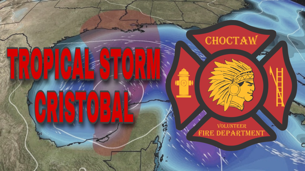
Tropical Storm Cristobal

6/3/2020

 
Picture
Cristobal will linger inland or near the Bay of Campeche coast of eastern Mexico through Friday, lacking any significant steering winds aloft.

It may weaken to a tropical depression before it emerges back into the Bay of Campeche or Gulf of Mexico later Friday.

This weekend, however, it's expected to be drawn northward into the Gulf of Mexico through a break in subtropical high pressure.

​That could bring Cristobal near the northern U.S. Gulf Coast by later Sunday anywhere from the upper Texas coast to the Alabama Gulf Coast. It remains too soon to determine exactly where this system would come ashore.

Early-June storms like Cristobal tend to be lopsided, with significant impacts far from the track of the center.

In this case, with a northward-moving Cristobal in the Gulf of Mexico, we expect a plume of deep, tropical moisture to wring out heavy rain well east of the center, as far east as the Florida Peninsula.

Also, increasing winds over the Gulf of Mexico will drive high surf to the beaches of the Gulf Coast, particularly to the east of the track from Louisiana to southwest Florida, generating dangerous rip currents and coastal flooding.
​
These far-reaching impacts are expected to increase beginning Saturday, and may persist into early Monday.


Comments are closed.

    Archives

    March 2021
    February 2021
    January 2021
    December 2020
    November 2020
    October 2020
    September 2020
    August 2020
    July 2020
    June 2020
    May 2020
    April 2020
    March 2020

    Categories

    All
    AMBER ALERT
    BURN BAN
    COVID 19
    GENERAL
    MISSING PERSON
    SAFETY
    SEVERE WEATHER
    TRAFFIC/ROAD HAZARD

Choctaw Volunteer Fire Department
2854 Choctaw Road
Thibodaux, Louisiana 70301
​Phone: (985) 633-2888
Copyright 2022
Emergency Alerts Provided By WillyWeather
Payments Processed By Square
​Privacy Policy | Terms Of Use | Area Amenities
HIPAA BAA | System Status
Picture
  • HOME
  • ABOUT US
  • EVENTS
    • 2023 Fireman's Fair >
      • 2023 Royalty
      • Vendors
      • Sponsorships
    • 2022 Fall Bash
    • Amenities
    • Rentals
  • RESOURCES
    • READY >
      • Severe Weather
      • Extreme Heat Safety
      • Hurricane Preparedness
      • Winter Weather
    • Resource List
    • SMS Alerts >
      • Sign-Up
      • Current Alerts
    • Calling For Help >
      • Tips For Calling 911
      • Using A Cell Phone
    • Elderly Services
    • Fire Prevention
    • Sparky
    • Streetwise
  • JOIN OUR TEAM
  • CONTACT US